
The voice of the Earth Observation
Industry
Barents bloom, Sentinel-2A - processed by ESA, CC BY-SA 3.0 IGO

Discover the largest European
Earth Observation Network
Lake Balkhash, Kazakhastan, Sentinel 2 - processed by ESA, CC BY-SA 3.0 IGO

EARSC promotes the understanding
of our Planet for societal benefits
Brussels, Spot 5 Sqtellite - Airbus Defence and Space
EARSC 4 Pillars

Representing the Members
The core pillar of our activities is to support and promote our members. We achieve this goal mainly through projects which we undertake (see projects). Members’ views are gathered through a series of ad-hoc working groups dedicated to important topics. We inform our members through a monthly report and a dedicated portal about important news and information, as announced bid opportunities – and dedicated e-mails for key items.
Read More
Market development & Internationalization
EARSC is engaged in a wide range of activities to develop new markets and business opportunities for our members. Our strategy is to engage users, identify needs and stimulate demand for European EO services both in Europe and abroad with complementary commercial and geographical approaches.
Read More
Promoting the industry
EARSC employs a range of sophisticated digital tools to promote the European EO sector. EARSC has three main digital tools which cover creating a shared vocabulary (EARSC TAXONOMY) , providing a common space to find EO companies, and a common space to discover ‘online’ EO services.
Read More
Showing the value of Earth Observation
The Earth observation sector delivers a wide range of social and environmental and economic benefits to citizens of Europe and the world. To properly and consistently value these impacts, EARSC leads the Sentinel Benefits Study (SeBS) project in which we measure the total societal impact of products and services coming from Sentinel satellite data.
Read MoreEARSC NEWS
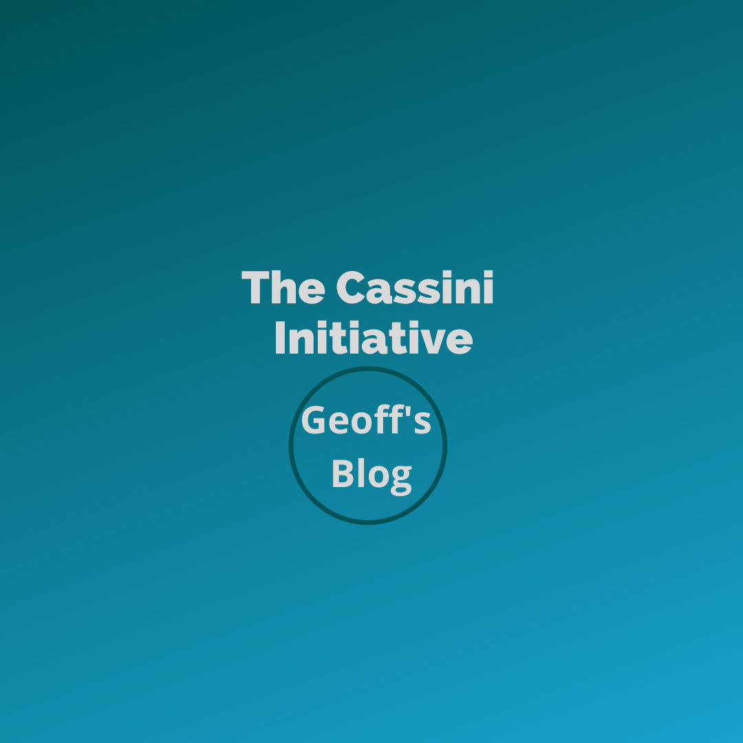
Geoff’s Blog: The Cassini Initiative
By Delphine Miramont and Aaron Scorsa Cassini (Competitive Space Start-ups for Innovation) is the European Commission’s space entrepreneurship initiative whose main objective is to support start-ups and SMEs at different stages of their growth with a set of tools and fundings. Managed by DG DEFIS, Cassini is part of the EU Strategy for SMEs and
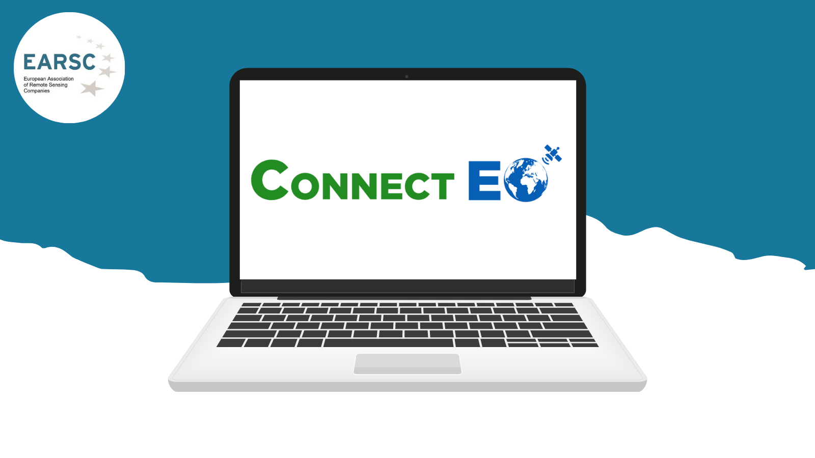
Job Offer: Business Development Consultant for the ConnectEO Front Office in Australia
Type of employment: 6-month consultancy contract (potential extension) Location: Australia All applications (CV and cover letter) must be sent to the following e-mail address: contact@connect-eo.eu Six (6) months consultancy contract (NOVEMBER 2021-APRIL 2022) with potential extension Duration: NOVEMBER 2021-APRIL 2022 Deadline to apply: 24th of September About ConnectEO ConnectEO (Connecting European Earth Observation to International Markets) is

Job Offer: Icon Group – GIS Developer
About Us: The Icon Group is an interdisciplinary geoscience company. We specialise in Earth Observation,Environmental Monitoring, GIS and Spatial Data Analytics. We are a European leader of earthimaging services and are Ireland’s largest processor of optical and image data.For over a quarter of a century, our bespoke approach has provided insight and assurance tocommercial and

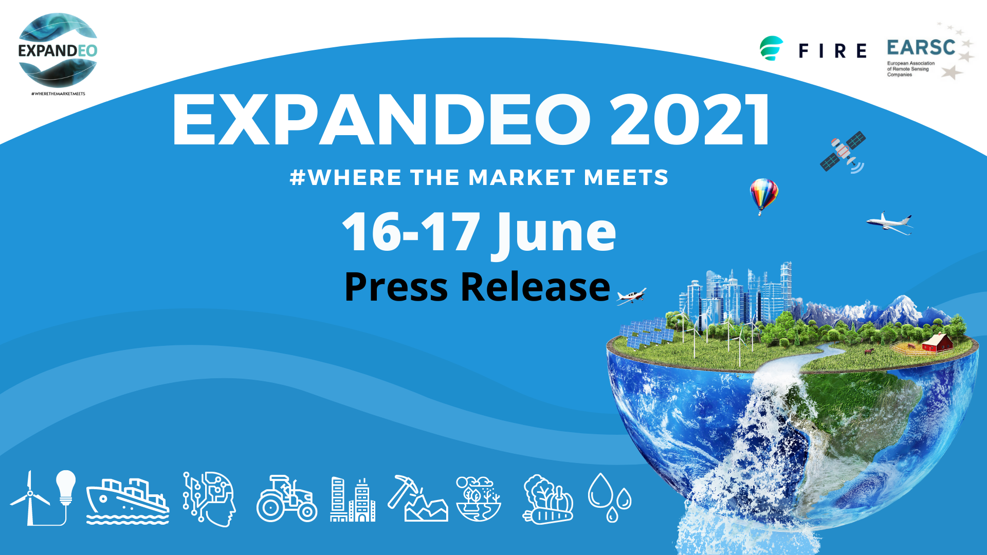
EXPANDEO 2021 & the FIRE Forum: Press Release
Press Release – EXPANDEO and the FIRE Forum 2021 On the 16th and 17th of June 2021, EARSC held the annual EXPANDEO 2021 & the FIRE Forum, the conference where Earth Observation providers and users from different sectors meet, learn about market evolution and network. The event saw 830 attendees from public institutions, the Earth
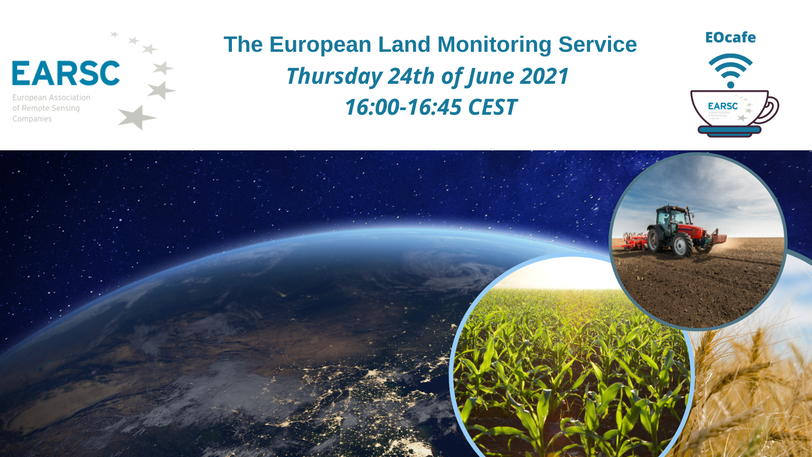
EOcafe: The European Land Monitoring Service
The European Environment Agency (EEA) plays a crucial role in the delivery of the Copernicus Land Monitoring Service (CLMS). The CLMS provides geographical information on land cover to a broad range of users in the field of environmental terrestrial applications. This includes information on land cover characteristics and changes, land use, vegetation state, water cycle

Geoff’s Blog: Index Insurance – A new Business Opportunity?
By Aaron Scorsa & Geoff Sawyer The digital economy is not only shaking up many sectors but fundamentally changing them! The result is the emergence of new innovative business models and opportunities for those who are able to embrace the change. The insurance sector is no different and a new approach is being developed by
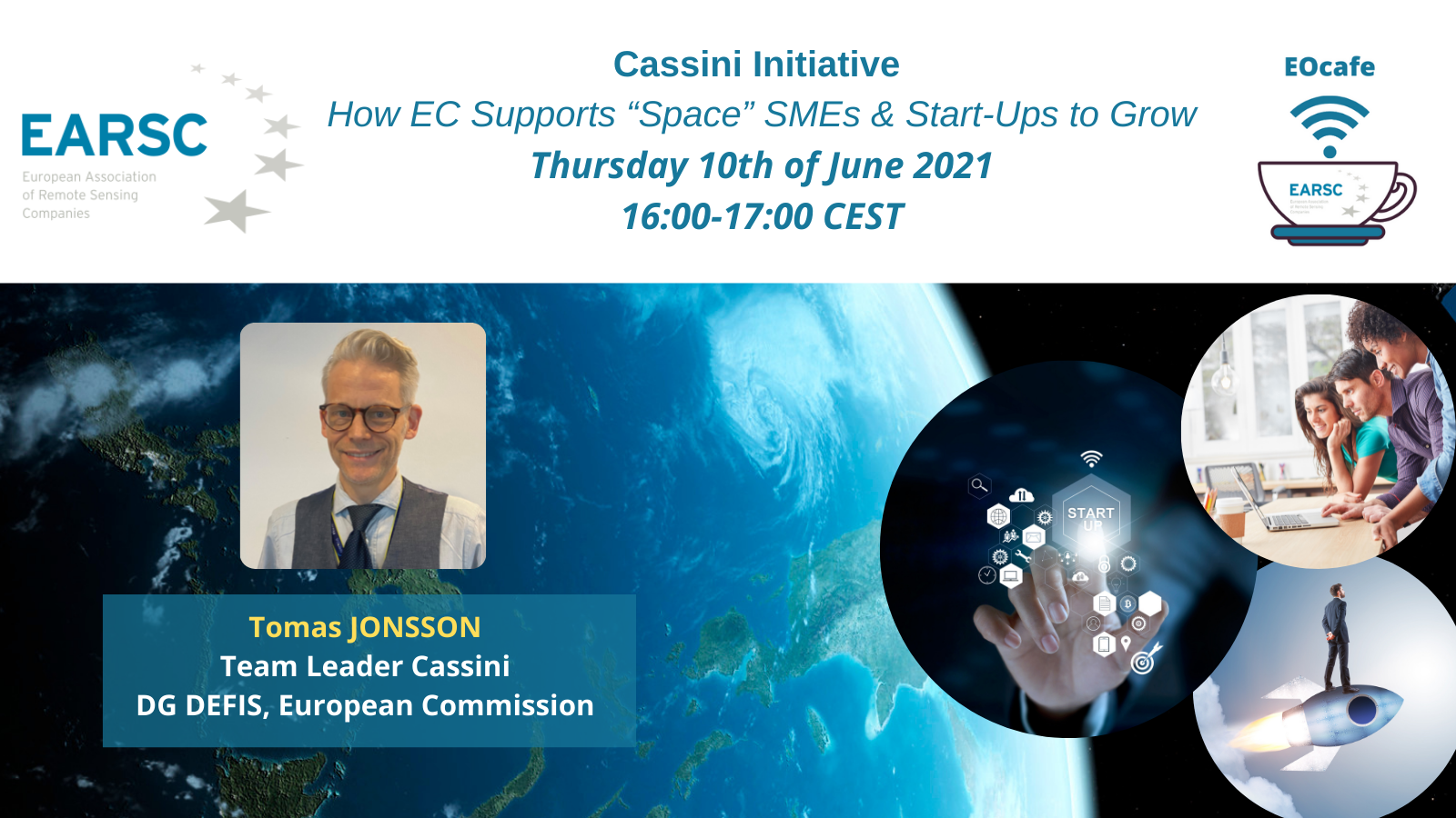
EOcafe: Cassini Initiative – How EC Supports “Space” SMEs & Start-Ups to Grow
Through the adoption of the new Space Programme, the European Union has taken a large step towards encouraging the space sector in Europe. Geared towards satisfying public needs for space infrastructure and services, the programme also marks strong support for the commercial sector and its ability to develop business in Europe and around the world.
JOB OFFER – SPACE APPLICATIONS SERVICES
Software Engineer – Earth Observation Data Processing (M/F) 2021-009-BE-SYS-EOS-SE About Us Space Applications Services is a company at the forefront of space technology development and the provision of services for human spaceflight, exploration and earth observation missions. Headquartered in Belgium (Brussels Area), with a research office in the Netherlands and a subsidiary in the USA,
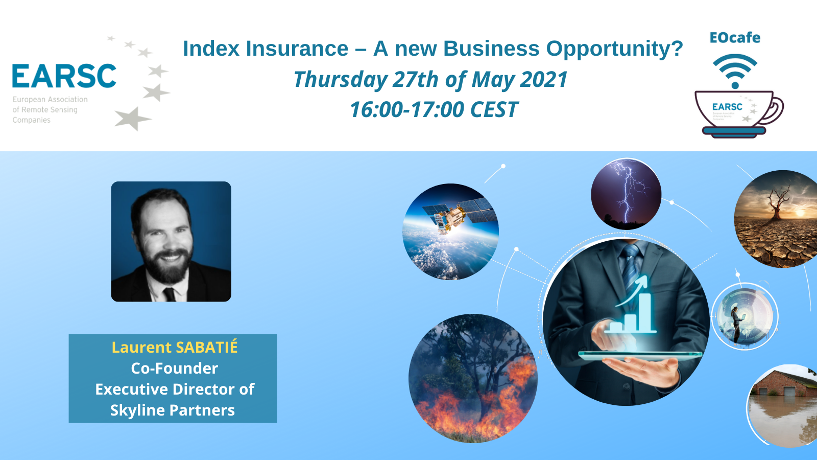
EOcafe: Index Insurance – A new Business Opportunity?
Thursday 27th of May 2021, 16:00-17:00 CEST The digital economy is not so much shaking up many sectors as fundamentally changing them! The result is the emergence of new, innovative business models and new opportunities for those able to embrace the change. The insurance sector is no different and a new approach is being developed
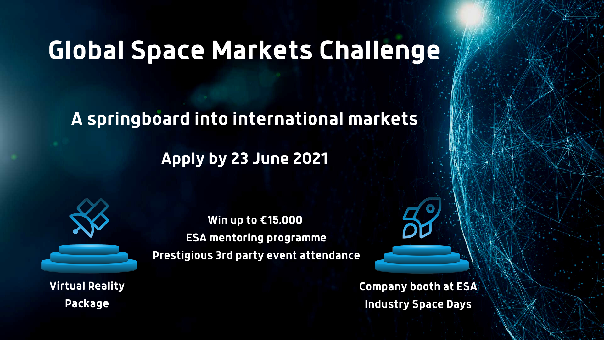
ESA competition to springboard SMEs into international markets
10 May 2021 Today, ESA together with the operational and technical support of EURISY, launched its Global Space Markets Challenge. This competition is intended to be a springboard into international markets for small promising space-based companies in Europe, specialised in upstream and downstream activities. Developments within small European companies continue to advance Europe’s expertise in technologies, create

VITO Job Offer: Project Manager Copernicus data & services
As a part of VITO, an independent leading research and service center, VITO Remote Sensing offers Earth observation expertise, data and services, and tailor-made image processing solutions to provide insights for public and private organizations, and for a wide range of applications including agriculture, land use / land cover, water & coast, climate, security and

VITO Job Offer: Project Manager and R&D expert Agriculture
As a part of VITO, an independent leading research and service center, VITO Remote Sensing offers Earth observation expertise, data and services, and tailor-made image processing solutions to provide insights for public and private organizations, and for a wide range of applications including agriculture, land use / land cover, water & coast, climate, security and
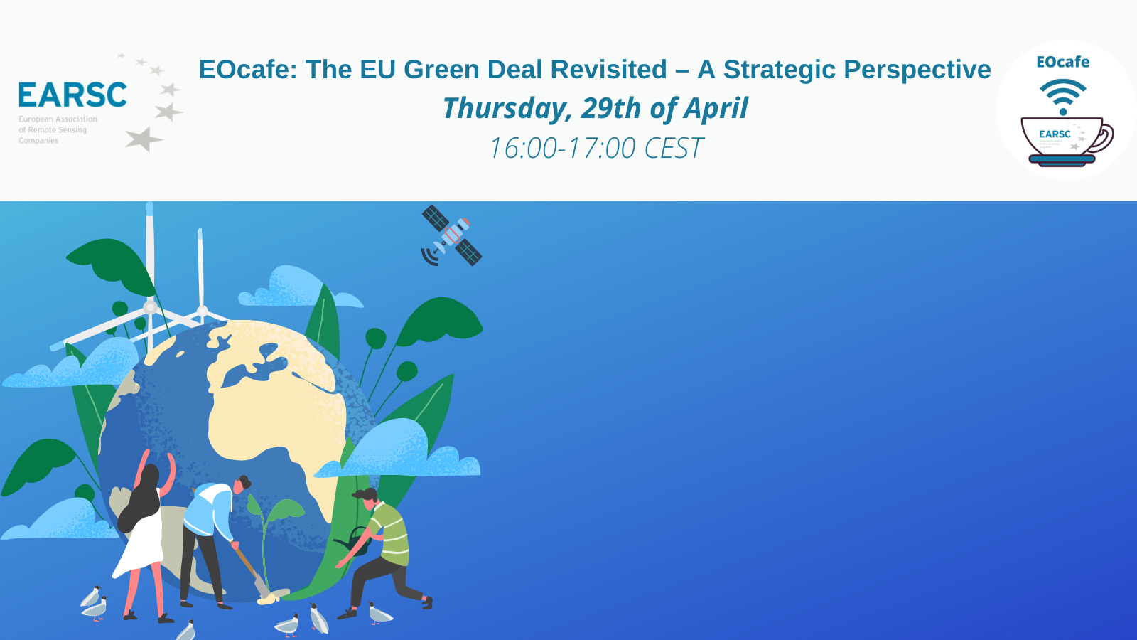
EOcafe: The EU Green Deal Revisited – A Strategic Perspective
The European Green Deal is an ambitious plan to decarbonise the EU economy by 2050, revolutionise the EU’s energy system, profoundly transform the economy and inspire efforts to combat climate change. Amongst its many facets, it has a strong dimension for sustainable agriculture (food security) called “farm to fork” as well as a strong focus on urbanisation. The Green Deal has strong geopolitical implications in many policy areas including working with others to achieve global goals.

Geoff’s blog: EO in the News or a (satellite) image is worth a thousand words
By Sandra Cabrera Alvarado & Geoff Sawyer How can we help the media get better use of EO in its progressive use? This was the main question raised by Geoff while opening this EO Cafe. Since the launch of Landsat (1972) followed by SPOT (1986), EO has been used as a tool by journalists to show the readers of the
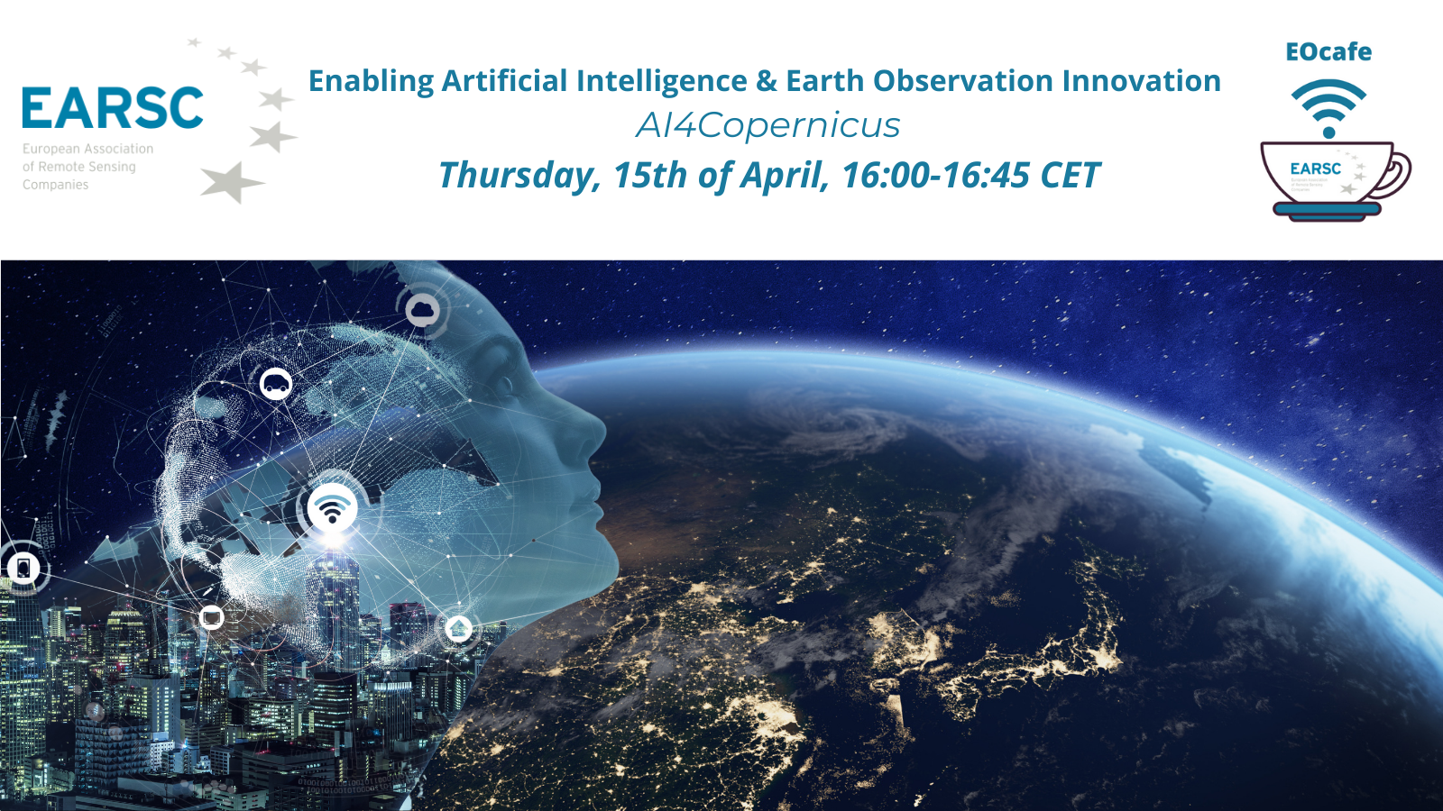
EOcafe: Enabling Artificial Intelligence & Earth Observation Ιnnovation – AI4Copernicus
Delivering 12 TB of space data per day, Copernicus is the world’s largest space data provider. This high volume presents a serious challenge to analysts. At the same time, Artificial Intelligence (AI) is becoming an indispensable and ubiquitous tool for growth and innovation. In this context, the EU-funded AI4Copernicus project will bridge the EU AI on-demand platform AI4EU with Copernicus Data and Information Access Services (DIAS) platforms to allow innovative players to break new ground. The project will organise, fund and support four open calls for SMEs, facilitating the development of novel, useful and ethical-by-design[1] artificial intelligence innovations (8 small-scale experiments and 9 larger-scale use-cases).
MEMBERS NEWS

New Job Opportunity at GAF AG Munich – “Project Manager Earth Observation & Copernicus LCLU downstream Services”
GAF AG is an internationally successfully operating company for cross-platform EO-based geoinformation solutions and for the development of innovative GIS and database applications. In addition to the reception and distribution of geodata, GAF holds a leading position in the areas of data refinement and geoconsulting due to its many years of expertise. With an international and

EARSC Board of Directors Election – Apply to Become One of the EARSC Directors 2024!
According to the Article 11 of the EARSC Statutes, the Board of Directors shall be renewed during the Annual General Meeting scheduled to be held in Brussels on June 13, 2024, during EXPANDEO 2024. The 9 Directors will be elected this year for a term of 2 years. The election is an opportunity for EARSC Full members to be involved in the

European cooperation on satellite mapping: The Danish Geodata Agency and EOMAP join efforts in mapping the shallow waters of Denmark.
Nørresundby (DK) / Seefeld (D) – By using Satellite-Derived Bathymetry (SDB), the Danish Geodata Agency and EOMAP are joining forces to contribute to the European Marine Observation and Data Network (EMODnet) Bathymetry partnership, and to integrate the SDB data into the Danish Depth Model (DDM) “Finding new ways to map shallow waters, where we only have very