
The voice of the Earth Observation
Industry
Barents bloom, Sentinel-2A - processed by ESA, CC BY-SA 3.0 IGO

Discover the largest European
Earth Observation Network
Lake Balkhash, Kazakhastan, Sentinel 2 - processed by ESA, CC BY-SA 3.0 IGO

EARSC promotes the understanding
of our Planet for societal benefits
Brussels, Spot 5 Sqtellite - Airbus Defence and Space
EARSC 4 Pillars

Representing the Members
The core pillar of our activities is to support and promote our members. We achieve this goal mainly through projects which we undertake (see projects). Members’ views are gathered through a series of ad-hoc working groups dedicated to important topics. We inform our members through a monthly report and a dedicated portal about important news and information, as announced bid opportunities – and dedicated e-mails for key items.
Read More
Market development & Internationalization
EARSC is engaged in a wide range of activities to develop new markets and business opportunities for our members. Our strategy is to engage users, identify needs and stimulate demand for European EO services both in Europe and abroad with complementary commercial and geographical approaches.
Read More
Promoting the industry
EARSC employs a range of sophisticated digital tools to promote the European EO sector. EARSC has three main digital tools which cover creating a shared vocabulary (EARSC TAXONOMY) , providing a common space to find EO companies, and a common space to discover ‘online’ EO services.
Read More
Showing the value of Earth Observation
The Earth observation sector delivers a wide range of social and environmental and economic benefits to citizens of Europe and the world. To properly and consistently value these impacts, EARSC leads the Sentinel Benefits Study (SeBS) project in which we measure the total societal impact of products and services coming from Sentinel satellite data.
Read MoreEARSC NEWS
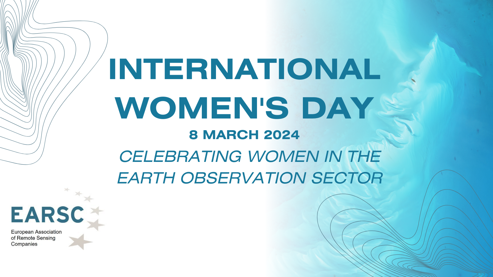
International Women’s day 2024
As we celebrate Women’s Day, we’re thrilled to announce our latest campaign! We’ve reached out to two distinguished EARSC Directors, Betty Charalampopoulou, (CEO of GEOSYSTEMS HELLAS) and Monika Krzyżanowska (Director Of Business Development at CLOUDFERRO) inviting them to share their insights and experiences. We feature here their responses to three questions about their careers and
MEMBERS NEWS

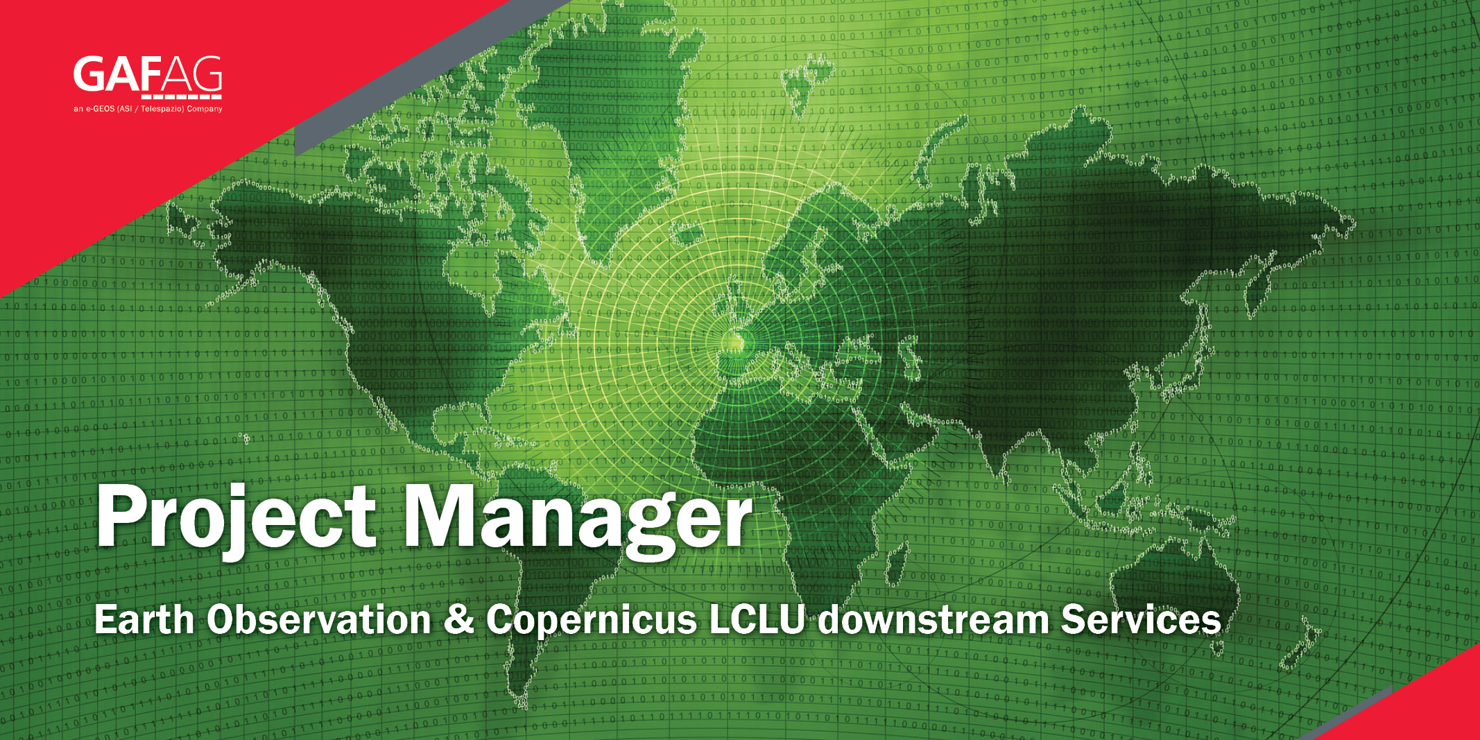
New Job Opportunity at GAF AG Munich – “Project Manager Earth Observation & Copernicus LCLU downstream Services”
GAF AG is an internationally successfully operating company for cross-platform EO-based geoinformation solutions and for the development of innovative GIS and database applications. In addition to the reception and distribution of geodata, GAF holds a leading position in the areas of data refinement and geoconsulting due to its many years of expertise. With an international and

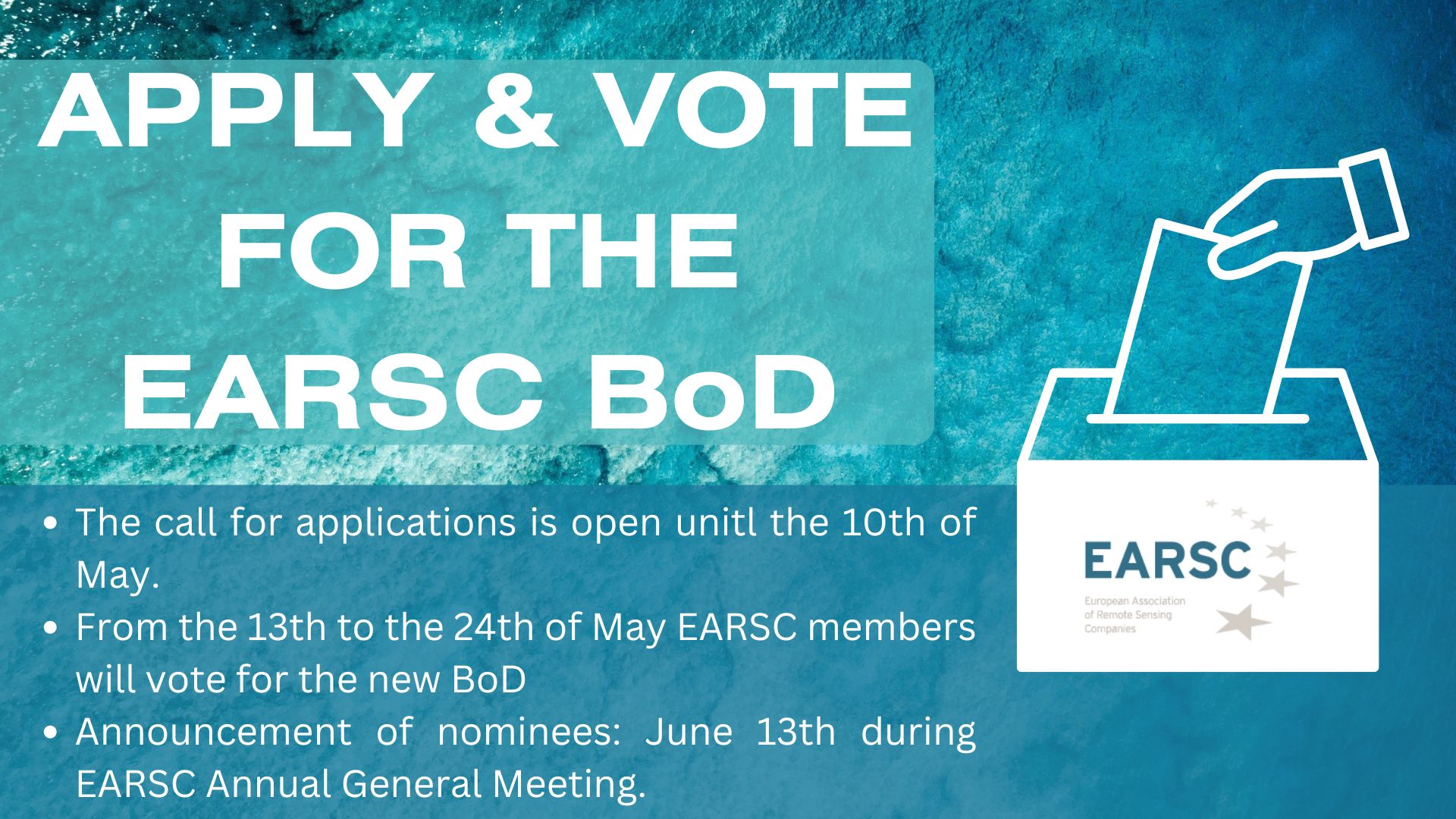
EARSC Board of Directors Election – Apply to Become One of the EARSC Directors 2024!
According to the Article 11 of the EARSC Statutes, the Board of Directors shall be renewed during the Annual General Meeting scheduled to be held in Brussels on June 13, 2024, during EXPANDEO 2024. The 9 Directors will be elected this year for a term of 2 years. The election is an opportunity for EARSC Full members to be involved in the

European cooperation on satellite mapping: The Danish Geodata Agency and EOMAP join efforts in mapping the shallow waters of Denmark.
Nørresundby (DK) / Seefeld (D) – By using Satellite-Derived Bathymetry (SDB), the Danish Geodata Agency and EOMAP are joining forces to contribute to the European Marine Observation and Data Network (EMODnet) Bathymetry partnership, and to integrate the SDB data into the Danish Depth Model (DDM) “Finding new ways to map shallow waters, where we only have very