The voice of the Earth Observation
Industry
Barents bloom, Sentinel-2A - processed by ESA, CC BY-SA 3.0 IGO

Discover the largest European
Earth Observation Network
Lake Balkhash, Kazakhastan, Sentinel 2 - processed by ESA, CC BY-SA 3.0 IGO

EARSC promotes the understanding
of our Planet for societal benefits
Brussels, Spot 5 Sqtellite - Airbus Defence and Space
EARSC 4 Pillars

Representing the Members
The core pillar of our activities is to support and promote our members. We achieve this goal mainly through projects which we undertake (see projects). Members’ views are gathered through a series of ad-hoc working groups dedicated to important topics. We inform our members through a monthly report and a dedicated portal about important news and information, as announced bid opportunities – and dedicated e-mails for key items.
Read More
Market development & Internationalization
EARSC is engaged in a wide range of activities to develop new markets and business opportunities for our members. Our strategy is to engage users, identify needs and stimulate demand for European EO services both in Europe and abroad with complementary commercial and geographical approaches.
Read More
Promoting the industry
EARSC employs a range of sophisticated digital tools to promote the European EO sector. EARSC has three main digital tools which cover creating a shared vocabulary (EARSC TAXONOMY) , providing a common space to find EO companies, and a common space to discover ‘online’ EO services.
Read More
Showing the value of Earth Observation
The Earth observation sector delivers a wide range of social and environmental and economic benefits to citizens of Europe and the world. To properly and consistently value these impacts, EARSC leads the Sentinel Benefits Study (SeBS) project in which we measure the total societal impact of products and services coming from Sentinel satellite data.
Read MoreEARSC NEWS
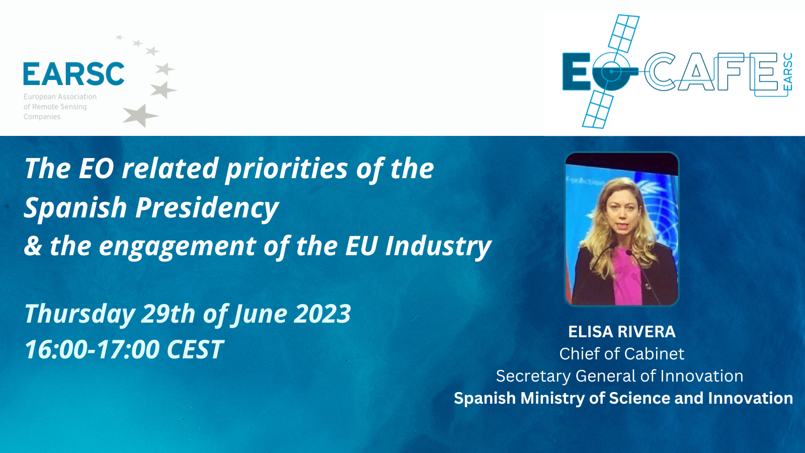
EOcafe: The EO related priorities of the Spanish Presidency & the engagement of the EU Industry
After establishing a national space agency and with a major space summit to be held in November 2023 is already a significant year for Spain in relation to space activities. This is further emphasized as Spain assumes the next 6-month rotating EU presidency. What does this mean for Spain’s “space” ambitions, and in particular how
EXPANDEO 2023 Press Release
Brussels, 15 June 2023 EXPANDEO 2023 Wrap-Up, Leaving a Lasting Impact on the Earth Observation Community Watch here the recordings of EXPANDEO 2023. Key stakeholders came together for two days of insightful discussions at EXPANDEO 2023, held in Brussels and online from the 13th to the 14th of June 2023. This annual event served as
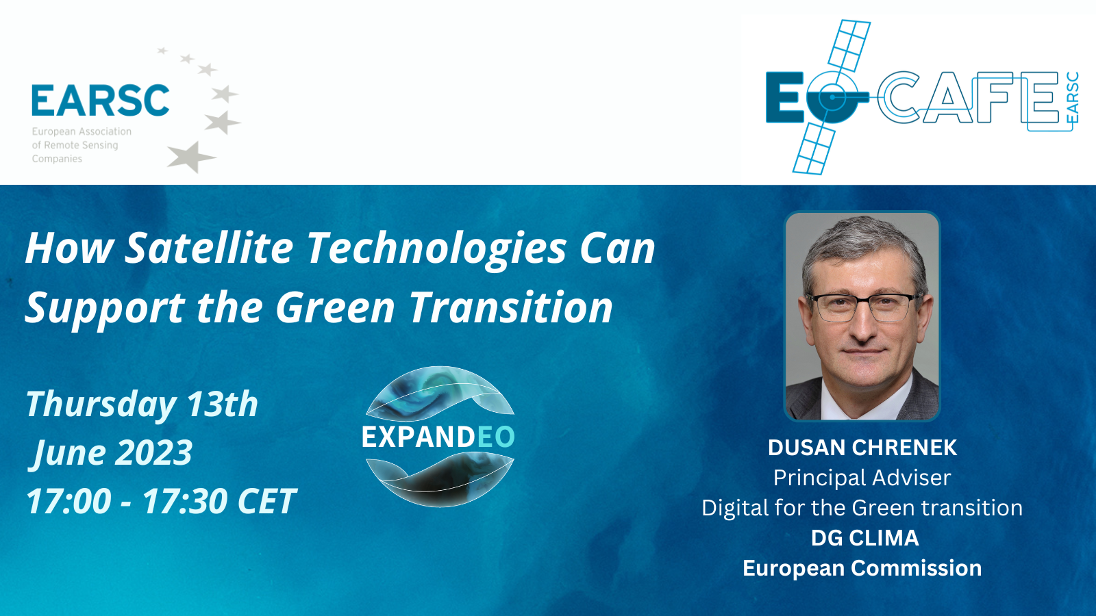
EOcafe special edition EXPANDEO: How Satellite Technologies Can Support the Green Transition
Tuesday 13th of June 2023 17:00-17:30 CEST This is a special edition of the EOcafe which will be streamed live from EXPANDEO 2023 on Tuesday, 13th of June at 17:00 instead of the usual Thursday at 16:00!!! With the European Green Deal and the Digital Strategy, the EU has set ambitious plans to achieve climate
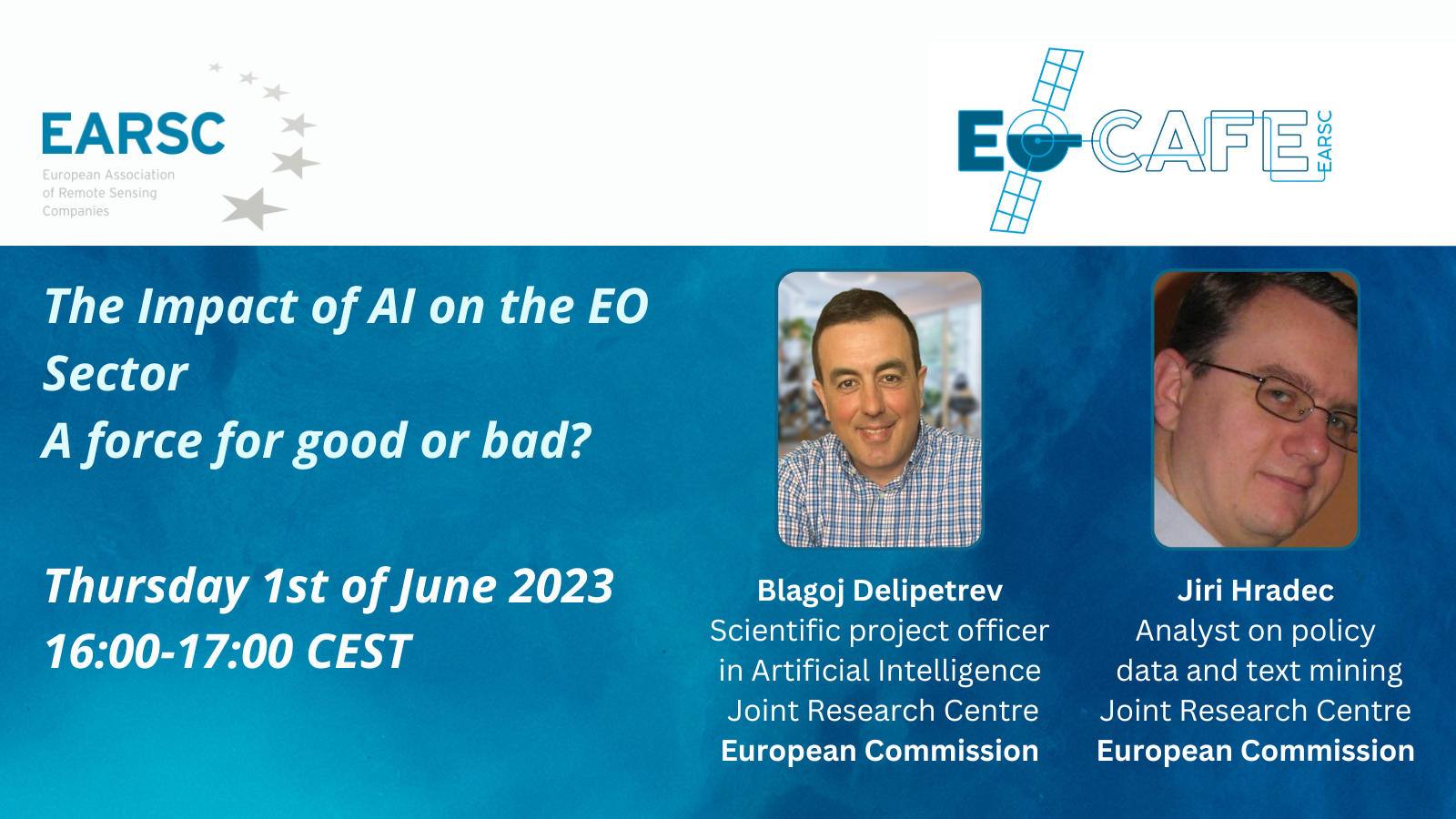
EOcafe: The Impact of AI on the EO Sector. A force for good or bad?
Thursday 1st of June 2023 16:00-17:00 CEST In previous EOcafe we have learned about two projects looking to link the rapidly developing technology of Artificial Intelligence with that of Earth Observation. The AI4EO and AI4Copernicus projects are setting challenges for diverse applications, with AI playing an increasingly important role in the processing and especially the
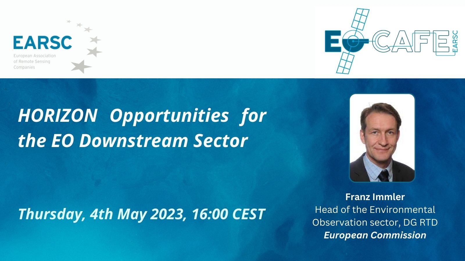
EOcafe: HORIZON Opportunities for the EO Downstream Sector
Thursday, 4th May 2023, 16:00 CEST Horizon Europe is the EU research and innovation framework programme with a period of seven years, 2021-2027. The programme boosts the European Research and innovation capacities, facilitates scientific collaboration across Europe and worldwide, and strengthens the impact of research and innovation in developing, supporting, and implementing EU policies. Earth
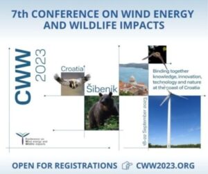
7th Conference on Wind Energy and Wildlife Impacts
If you have a keen interest in renewable energy and environmental issues, don’t miss the opportunity to attend the 7th Conference on Wind Energy and Wildlife Impacts – #CWW2023, now open for registration! CWW2023 is among the most prominent global conferences focusing on wind energy and its effects- on wildlife. Taking place 18-22 September 2023
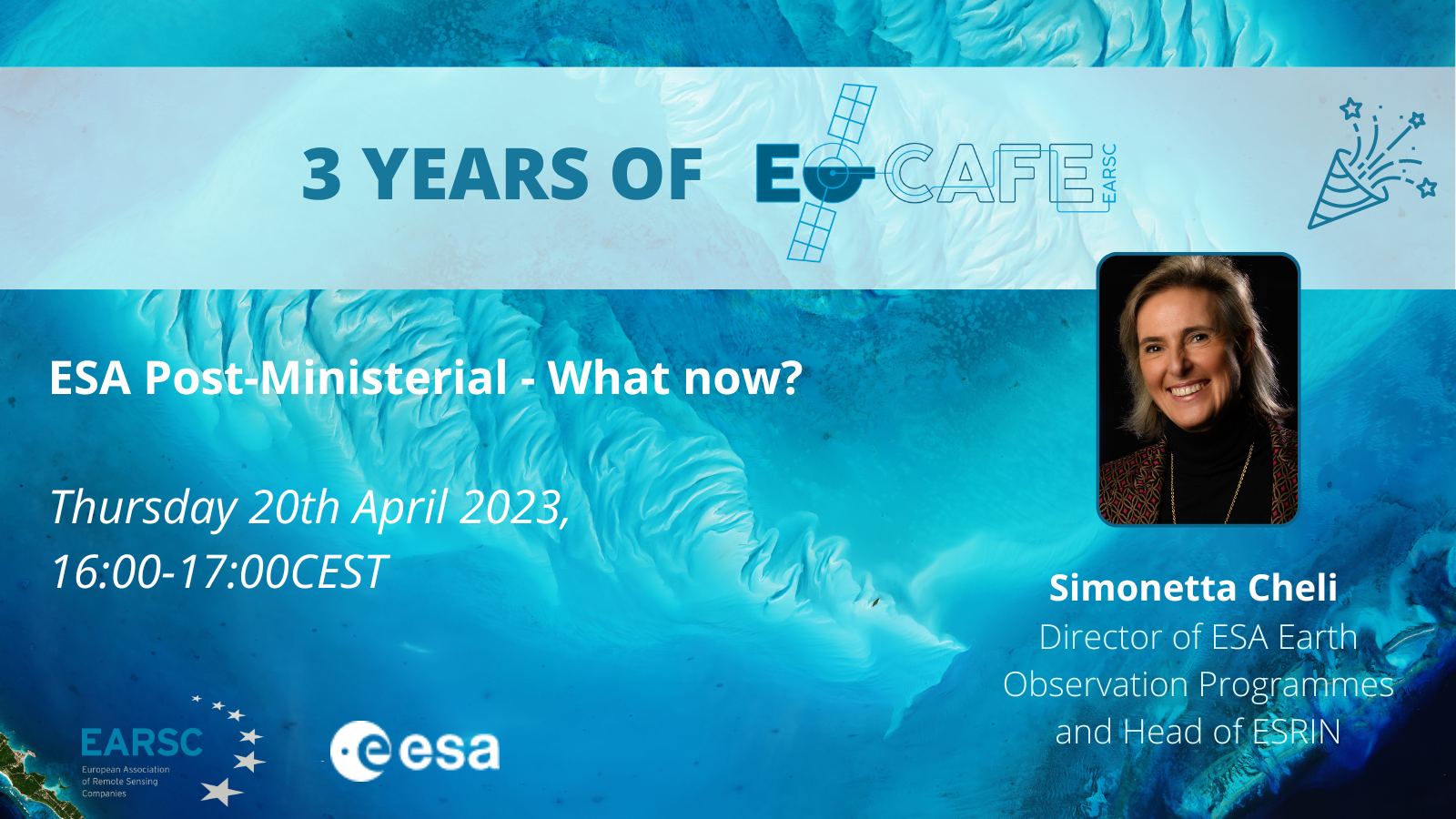
EOcafe: ESA Post-Ministerial – What now?
ESA Post-Ministerial – What now? Thursday, 20th April 2023, 16:00 CEST The last ESA (European Space Agency) Council Ministerial Meeting took place on 22-23 November 2022 in Paris. ESA has put forward bold objectives for space for the next three years and beyond to increase European autonomy, leadership and responsibility. Ministers backed this ambitious vision
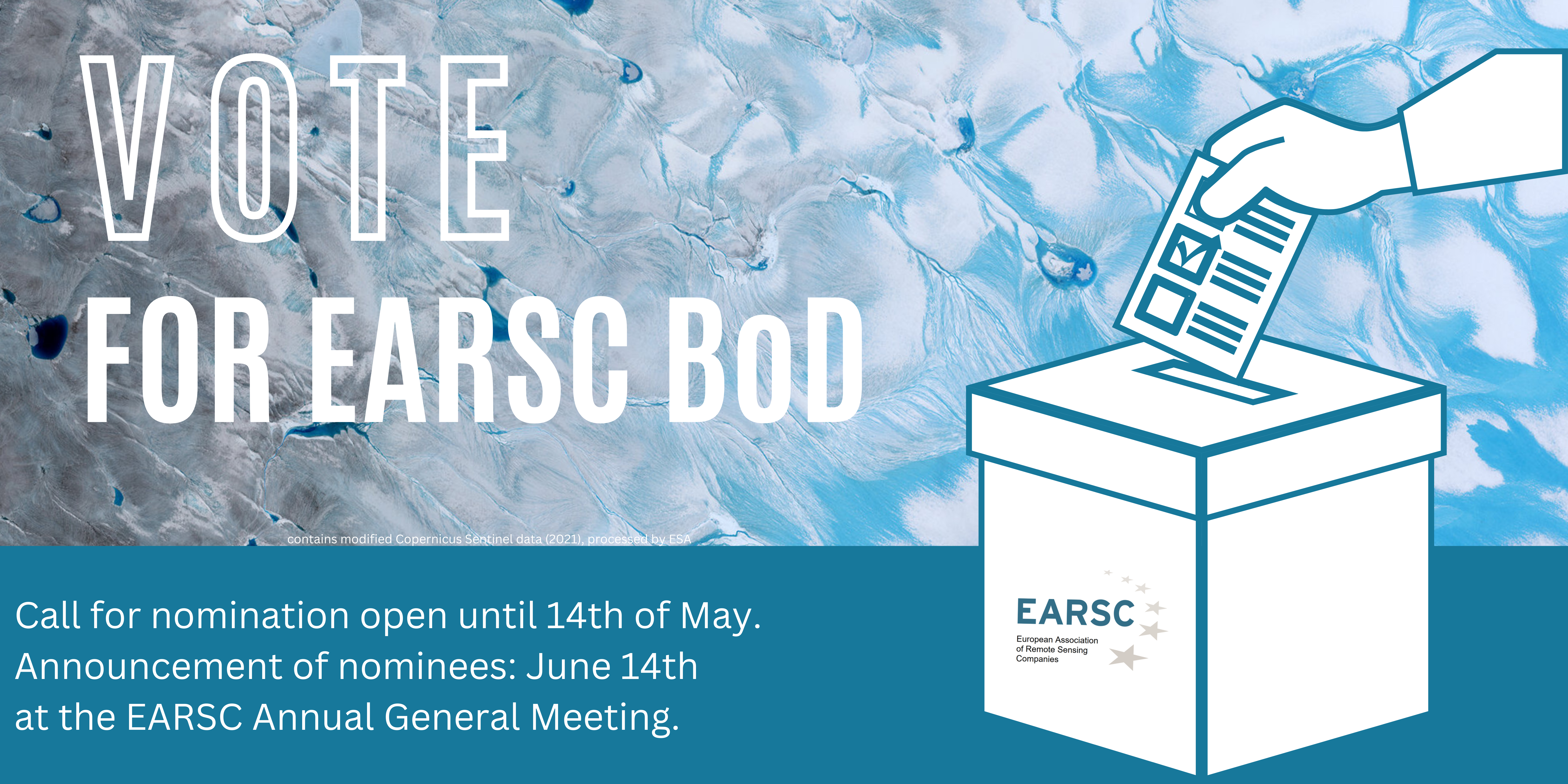
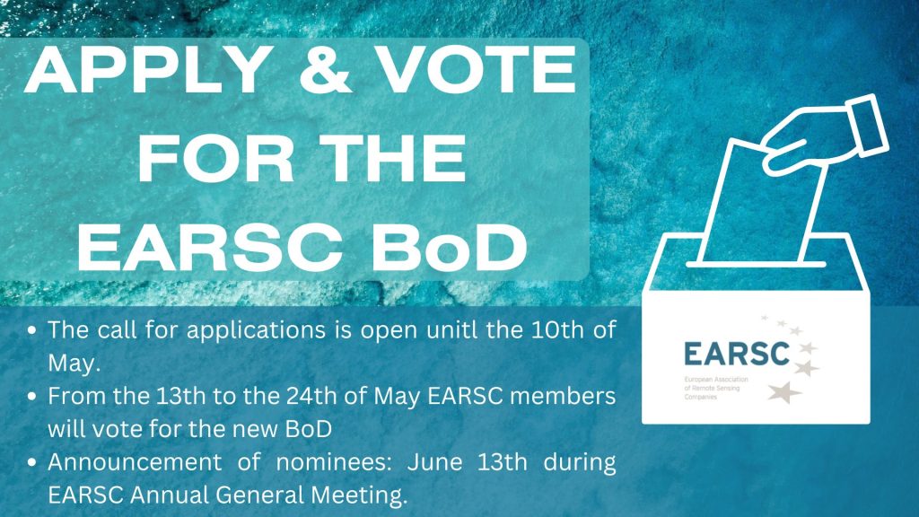
EARSC Board of Directors Election – Apply to Become One of the EARSC Directors!
According to the Article 11 of the EARSC Statutes, the Board of Directors shall be renewed during the Annual General Meeting scheduled to be held in Brussels on June 14, 2023. Composed of 12 Directors, 9 seats will be renewed this year. It is an opportunity for EARSC Full members to be involved in the governance of the Association, contributes to the strategy and
Airbus signs agreement with TerraNIS to export Farmstar in Europe
Airbus Defence and Space has signed an agreement with TerraNIS to export Farmstar, the space-based precision farming and crop monitoring service, outside of France. Farmstar Export will be developed in Europe combining Airbus’ know-how in sustainable agriculture solutions and TerraNIS’ geo-information services and expertise. The commercialization of the service in Europe will be possible thanks to the support
GeoScan lands major Lithium exploration project in Nigeria
Mining and Development Company Esoterra Investment Group places major exploration project with explorer GeoScan GmbH for critical battery minerals in Nigeria ➢ Sustainable exploration based on satellite images and artificial intelligence with zero-carbon footprint and zero-environmental impact. ➢ Supporting CO2-reduction, electro-mobility and energy by securing supply of important minerals. ➢ GeoScan GmbH will do the
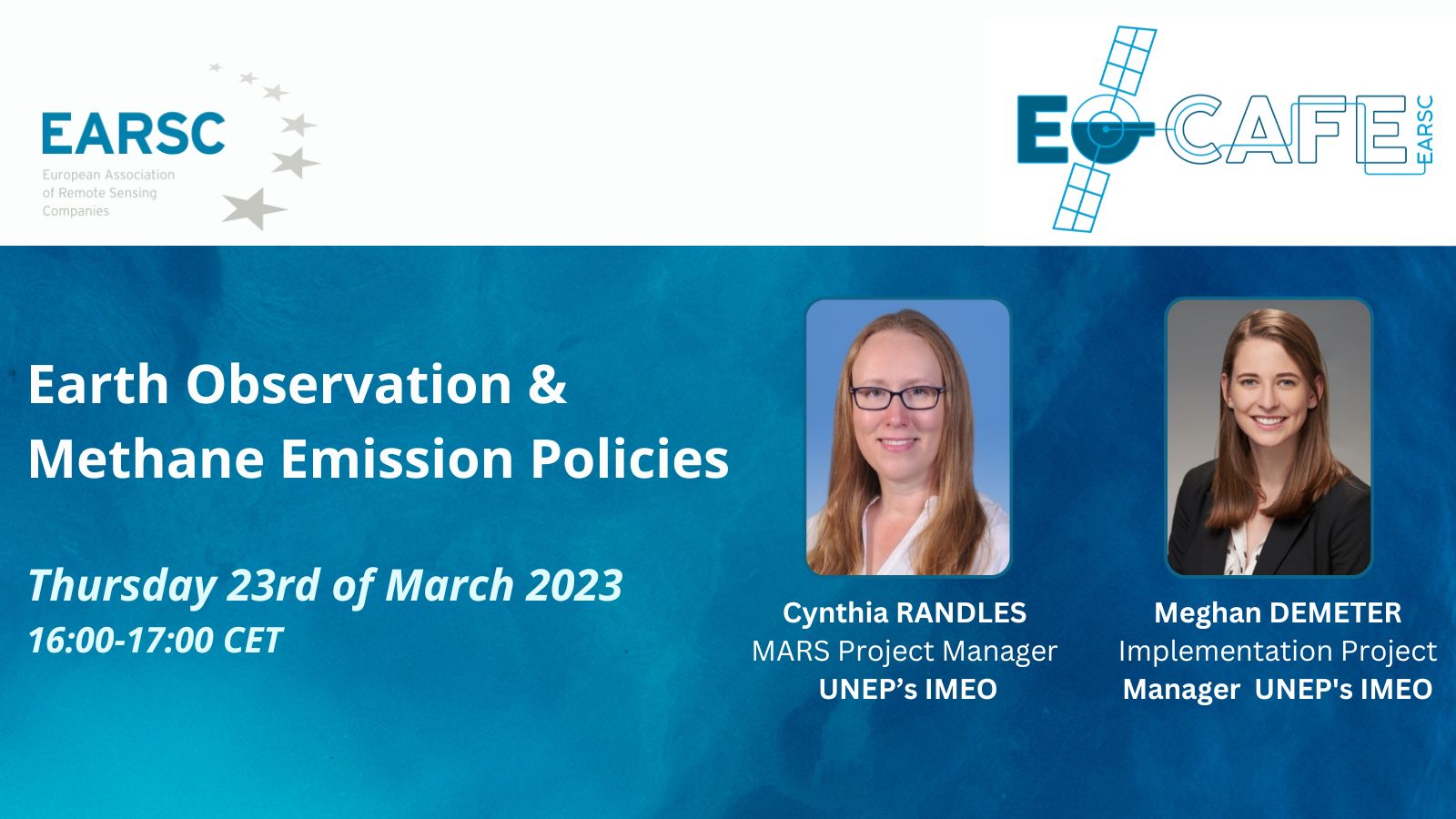
EOcafe: Earth Observation & Methane Emission Policies
Earth Observation & Methane Emission Policies Thursday, 23rd of March 2023 16:00-17:00 CET Previously in the EOcafe, we have discussed the European Green Deal and some of the implications for the EO services sector. The European Climate Law requires that greenhouse gas (GHG) emissions[1] and removals are balanced within the European Union by at the
OrbitalAI Challenge
What’s the competition about? Get ready to embark on an exciting challenge that explores the cutting-edge possibilities of in-orbit data processing and its potential to drive progress in Earth’s sustainability, business, industry, and science. ESA’s next-generation Φsat-2 mission will deliver a platform for the in-flight uploading, deployment and updating of third-party AI models. In parallel, Microsoft and Thales Alenia Space will demonstrate and validate in-orbit
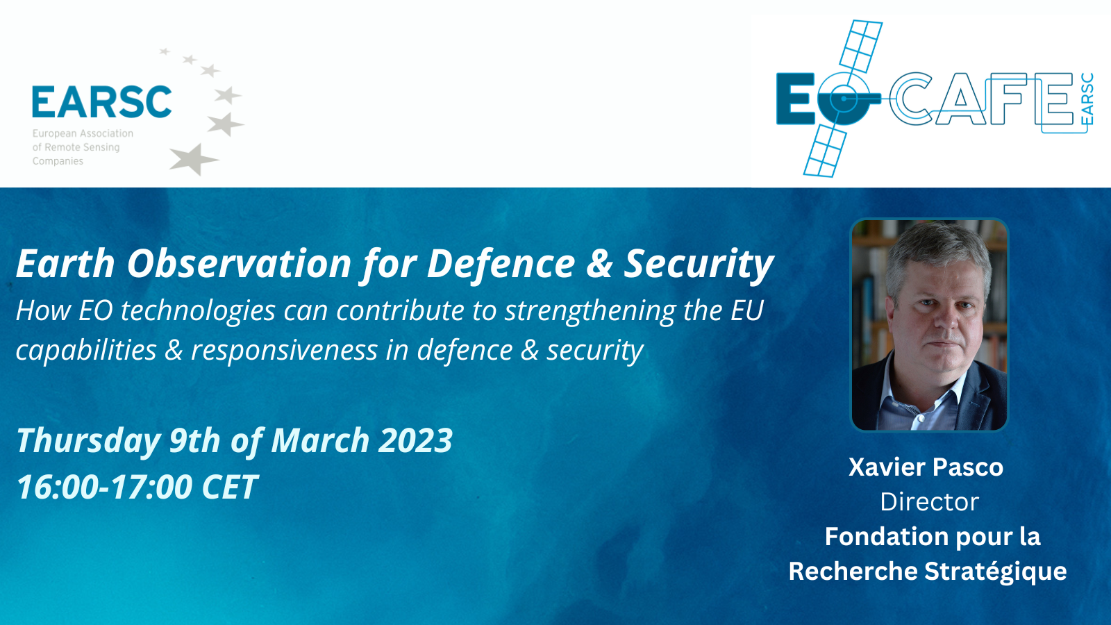
EOcafe: Earth Observation for Defence & Security
Earth Observation for Defence & Security How EO technologies can contribute to strengthening the EU capabilities & responsiveness in defence & securityThursday 9th of March 2023 16:00-17:00 CET Space capacities are an essential component for security and defence-related policy objectives. Whilst the technical capacity in Europe is strong, thanks to collaborative efforts through the European
Planet Partners Enable Sustainable Agriculture in Europe
In August, Planet announced its first three certified partners through our new Planet Orbit Certification Program, all of whom have a deep understanding of Planet data and are creating innovative solutions on our platform. These solutions are making it easier for users to process and use Planet data. In the last few months, we have
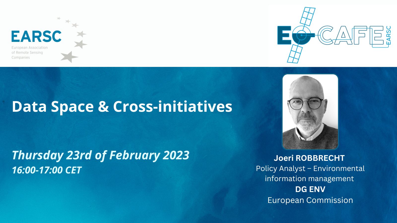
EOcafe: Data Space & Cross-initiatives
Data Space & Cross-initiatives Thursday, 23rd of February 2023 16:00-17h00 Ambitious EU plans like the European Green Deal require an abundance of resources, including appropriate data. Data allows governments to identify risks, tailor policy response and resource allocation, monitor progress and identify trends. Hence, the European Green Deal requires investments in technologies and digital assets
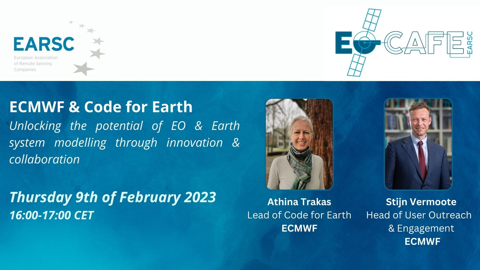
EOcafe: ECMWF & Code for Earth
ECMWF & Code for Earth Unlocking the potential of EO & Earth system modelling through innovation & collaboration Thursday, 9th of February 16:00-17:00 CET ECMWF is the European Centre for Medium-Range Weather Forecasts. It is both a research institute and a 24/7 operational service, producing global numerical weather predictions and other data for its Member
MEMBERS NEWS

