NEWS
Upcoming workshop on the involvement of the EO industry sector in EuroGEO

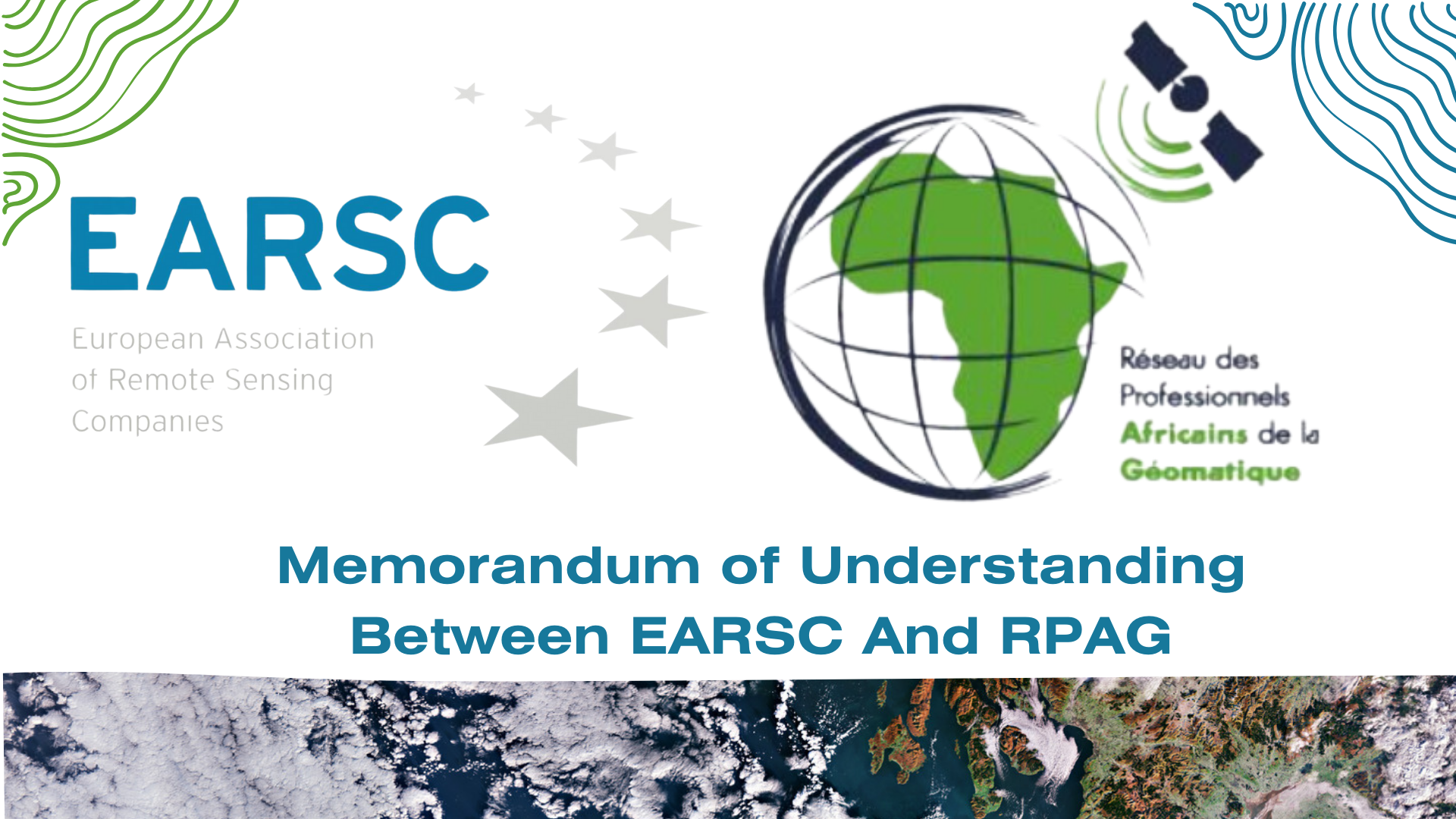
PRESS RELEASE: Memorandum of Understanding Between EARSC And RPAG
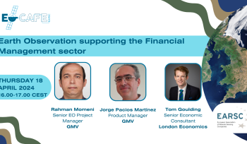
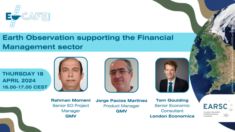
EOcafe: Earth Observation supporting the Financial Management sector

Vacancy Alert: Project Officer

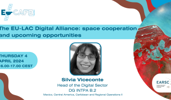
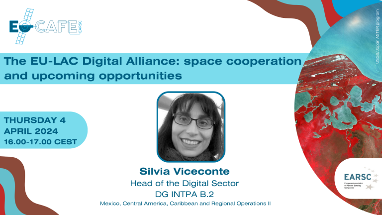
EOcafe: The EU-LAC Digital Alliance: space cooperation and upcoming opportunities

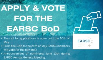
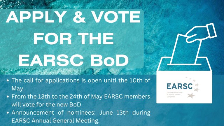
EARSC Board of Directors Election – Apply to Become One of the EARSC Directors 2024!

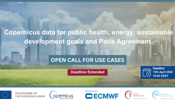
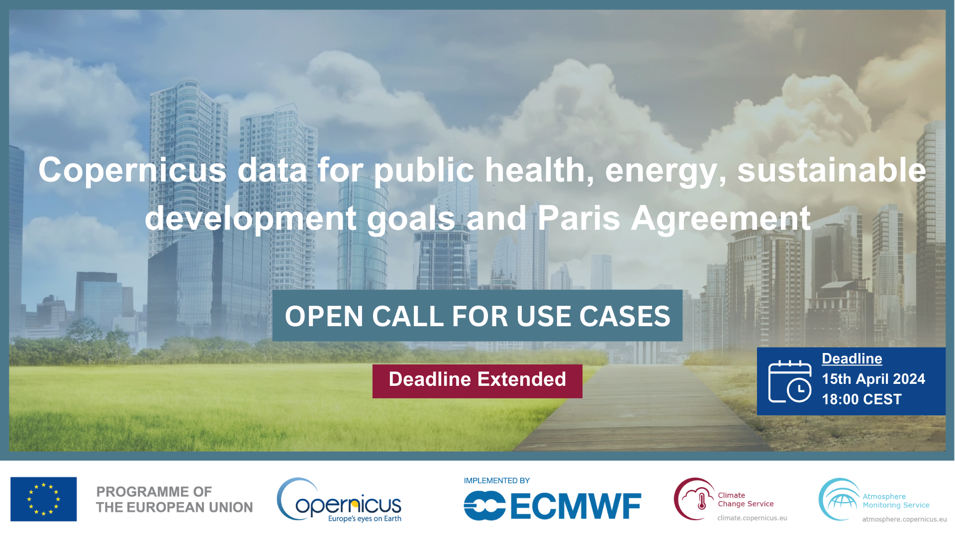
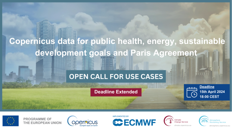
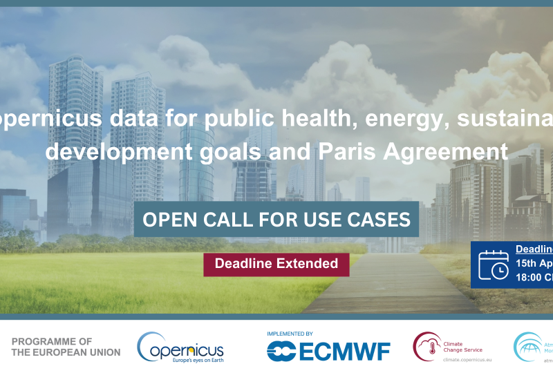
Submit your CAMS & C3S use case
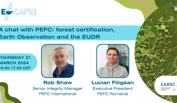
Eocafe: A chat with PEFC: forest certification, Earth Observation and the EUDR

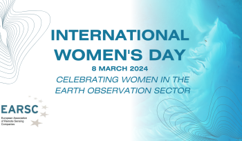
International Women’s day 2024
As we celebrate Women’s Day, we’re thrilled to announce our latest campaign! We’ve reached…


As we celebrate Women’s Day, we’re thrilled to announce our latest campaign! We’ve reached out to two distinguished EARSC Directors, Betty Charalampopoulou, (CEO of GEOSYSTEMS HELLAS) and Monika Krzyżanowska (Director Of Business Development at CLOUDFERRO) inviting them to share their insights and experiences. We feature here their responses to three questions about their careers and
EOMag!

EOMag is EARSC’s online newsletter that give’s you an overview of all the latest European EO news.