- June 17, 2022
- Posted by: EARSC
- Category: Members News

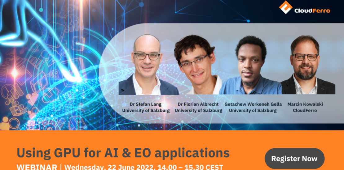
Our member, CloudFerro, the operator of CREODIAS platform, is inviting you for a webinar on using GPU for Artificial Intelligence and Earth Observation applications.
From the webinar you will learn about Artificial Intelligence solutions in remote sensing. The speakers will presentuse cases and projects using GPU on Earth Observation cloud, such as CREODIAS, leveraging Copernicus data. You will also get knowledge about ready-to-use solutions for developing AI applications.
WHEN: Wednesday, June 22nd 2022, 14:00-15:30 CEST
REGISTER: https://bit.ly/3Hb0cH6
WEBINAR AGENDA:
- Introduction: Artificial intelligence and its application in remote sensing – Dr Stefan Lang, University of Salzburg
- CREODIAS – EO cloud platform with GPU ready for AI application development – Marcin Kowalski, CloudFerro
- AI processing of satellite data – land classification and urban heat islands projects – Dr Florian Albrecht, University of Salzburg
- How to implement the AI code – technical demo – MSc. Gella Getachew Workineh, University of Salzburg
- Summary, Q&A, discussion – All
PARTICIPANTS:
Join the webinar if you are a scientist, a researcher, a public administration official or a developer planning to build AI applications in remote sensing.
WEBINAR PRESENTERS:
Dr Stefan Lang, University of Salzburg
Associated Professor at the Department of Geoinformatics and Vice-Dean of the Faculty for Digital and Analytical Sciences (DAS) at the Paris-Lodron University Salzburg (PLUS). He is academic coordinator of the Erasmus+ Skills Alliance EO4GEO and director of the Erasmus+ Joint Master Copernicus in Digital Earth. He is co-founder of the University spin-off Spatial Services Ltd and has established EO downstream services in new application domains. He is heading the Christian Doppler Laboratory GEOHUM developing AI-based solutions for humanitarian organisations.
Dr Florian Albrecht, University of Salzburg
A researcher and lecturer in the Climate, Hazard & Risk Lab at the Department for Geoinformatics – Z_GIS, University of Salzburg. His research focuses on the design, development and validation of Earth Observation derived geographic information products for applications in natural hazards and urban planning. As an experienced lecturer for remote sensing and geospatial analysis, he develops and applies innovative tools for designing training resources and actions for the EO and GI sector.
Getachew Workeneh Gella, University of Salzburg
MSc in Earth observation and Geoinformation Science. Currently, he is a doctoral student at the University of Salzburg, working on integration of deep learning models with high resolution satellite images for humanitarian applications in emergency response. He has a broader interest in transfer learning, domain adaptation and data efficient information extraction workflows.
Marcin Kowalski, CloudFerro
A cloud expert with over 15 years’ experience in implementing cloud and IT infrastructure products for large IT companies. Marcin is a customer’s voice in the company, responsible for the quality and reliability of the cloud computing services.
