- June 9, 2021
- Posted by: EARSC
- Category: Members News
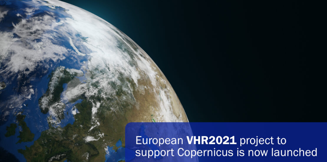
The Airbus-led consortium with GAF, selected by the European Commission and the European Space Agency (ESA), has started acquiring data to provide the Copernicus Earth Observation Programme with very high-resolution (VHR) satellite-based image coverage of Europe for 2021.
Munich, June 8, 2021.
By combining its skills, experience and expertise, the Airbus-GAF consortium will optimise the acquisition of data using a unique fleet of satellites. In the project, the Airbus optical satellite range, consisting of Pléiades, SPOT and Vision-1, as well as the WorldView, GeoEye, Deimos, SuperView, Kompsat and TripleSat satellites, will be used.
The consortium will provide over six million square kilometres of freshly acquired very high resolution, high-accuracy satellite ortho-images for the reference year 2021. The biggest challenge in this project will be ensuring that all the imagery is cloud-free and cloud-shadow free. Resampled at 2m or 4m resolution, depending on the sensor, a total of 11,686 imagery tiles (25km by 25km) will be provided in one single ready-to-use format. This coverage was last updated for the Copernicus Earth Observation Programme in 2018, as part of the VHR2018 Airbus-led project.
Once it has been obtained, the data will be used for Copernicus geo-information services, in particular the Land Monitoring Service (CLMS) activities coordinated by the European Environment Agency. CLMS helps European institutions and governments understand the shape and trend of Europe’s land areas and implement their environmental and land management policies. To support this endeavour, the VHR coverage forms a valuable element in various thematic layers and analyses, as it provides a complete situational picture of Europe’s land and environmental condition every three years.
Tasking for the programme began over continental Europe on 1 May and will end this autumn. The consortium aims to cover all 39 countries before the end of 2021.
About GAF AG – Germany
GAF AG is an e-GEOS (Telespazio/ASI) company located in Munich and Neustrelitz, Germany. It is a leading earth observation company with an international reputation as an application-oriented provider of data, products and services relating to geo-information, data analytics, spatial IT and consulting for private and public clients. GAF offers state-of-the-art solutions for land monitoring, natural resources management, water and environment, emergency management and security, mining and geology, agriculture, forestry and climate change. Since 1985, the company has successfully completed more than 1000 projects in over 144 countries. GAF is one of the most experienced European service providers in the EU/ESA Copernicus Programme.
