- May 14, 2021
- Posted by: EARSC
- Categories: European EO Industry, Projects
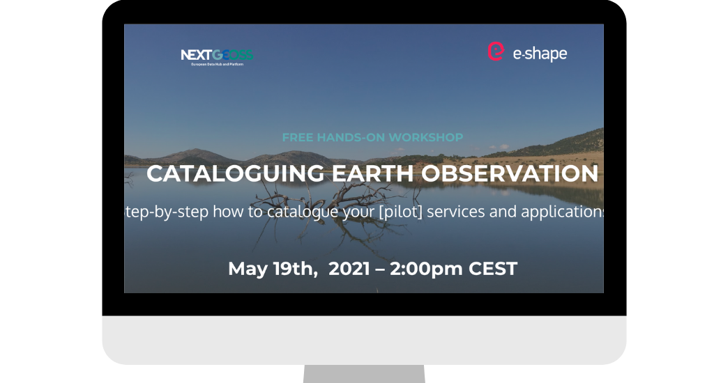
What
In this webinar we will provide step-by-step how to quickly make your applications and services easy to find.
As for many projects, the e-shape project wants to support faster user uptake of their results through cataloguing the pilots (applications/services) results on different platforms. We are using the e-shape pilots as examples when we show how both data and the results based on these data can be easily catalogued on the NextGEOSS data hub. NextGEOSS data hub is linked to the GEOSS portal. This integration will therefore increase global visibility and discoverability of the e-shape pilots, and any other project results, in delivering and finding fit-for-purpose data and products reaching out to users from different communities.
Why now?
The e-shape project has started to churn out many results from their numerous and varied pilots. Since both e-shape and NextGEOSS are major components of EuroGEO, it is a priority to make sure that both EuroGEO at large and GEO can benefit from these resources as quickly as possible.
Who is it for?
This workshop is designed to help e-shape pilot owners, but it is open and useful for all data managers and developers that want to make their data and data products such as models, applications, and services easy to discover and use.
How to prepare?
We have prepared an information package that will help you get started and that enables you to prepare very specific questions related to your own pilot, service, project, etc. It consists of video instructions and guidelines.
Register here.
