- July 28, 2020
- Posted by: EARSC
- Category: Members News

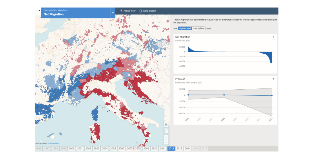
We have launched FUORE, an innovative, interactive, and user-friendly web tool for the processing of statistical data at the level of functional regions in Europe.
The tool enables more efficient data processing. Statistical data used in regional development planning are often available for standard administrative units. However, the effects of strategic decisions and measures taken in regional development do not align with administrative borders, so the use of functional regions defined by geographic and socio-economic relations is better suited for this purpose.
This is what our application makes possible. It presents available data converted to the level of functional units and allows users to analyse and compare the current situation and trends in these units. At present, the tool contains nine types of functional regions in Europe, such as functional urban areas, sparsely populated areas and border areas. For each region, users can focus on individual demographic and socio-economic indicators available in the source dataset.
A wide range of analytical functionalities, synchronized interactive maps, graphs etc., enables users to filter, compare, and analyse the values of the indicators and see their development over periods of time. You can also download and export the content. The source data can easily be updated and added.
FUORE has been developed on Gisat Visat framework, an interactive online platform for visualization based on open source components.
The application was created within the European Spatial Planning Observation Network (ESPON), a European Commission research programme aimed at supporting the formulation of territorial development policies in Europe.
