Norway is a country which has been formed by glaciers leaving steep mountainsides and deep valleys filled with moraines – especially near the coast. This landscape gives rise to rockslides (the cause of several disasters in Norwegian history) and slipping land.
The Norwegian Geological Survey (NGU) has created a new service called InSAR Norway to help monitor the ground instability using satellite data.
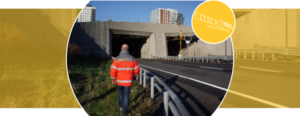
The Norwegian Public Roads Authority (NPRA) has started using this service to help identify and understand where ground motion can impact on road construction. Knowing the risk and causes of movement allows for more stable roads and tunnels leading to many benefits for Norway.
Video Animation