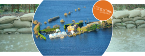
A succession of Atlantic Storms hit Ireland in the winter of 2015-2016 resulting in the heaviest flooding in the country’s history. In response to the flooding, the Irish flood management authorities triggered for the first time in December 2015 the Copernicus Emergency Management Service. Using Sentinel-1 and other satellite data, this service provided all actors involved in flood management with flood delineation maps.
These maps have enabled informed decision-making and produced significant economic and social benefits for all actors involved in flood management, from national coordination level down to individual citizens.
Video Animation